
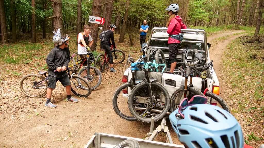


Trailpark in Žehra
The village of Žehra is one of the oldest inhabited villages in the Spiš Region, with the first written mention dated in 1245. The village is probably an archaeological site and together with the Spiš Castle, Spišské Podhradie, and the Spiš Chapter is included in the UNESCO World Heritage List.
Žehra is located in the district of Spišská Nová Ves and is only 29 km away from the district city. The northern borders of the village are also the border of the Košice Self-governing Region.
In the Trail Park, you may ride from the top above the nearby Kozia Hora (Goat Mountain), 636 m above sea level. Here, cyclists may choose a trail, riding downhill. They either choose the lighter blue trail (called "Castle Flow") with a length of 1.65 km or the most difficult black trail ("Majky's Enduro Trail") with a length of 730 m.
This more demanding trail will be extended to 1,480 m in the fall. The undulations of the terrain and the tilting of the bend allow the smoothest passage in Eastern Slovakia. The route alternates with passages with different slopes. Cyclists overcome larger differences in height with the help of banked turns and jumps. All elements are designed to be passable even for the less experienced ones (obstacles may be bypassed).
The Žehra Trail Park is open non-stop, at your own risk.
There are also other marked bike trails in the vicinity, which you may use to explore UNESCO monuments and nature preserves, such as the rock town of Dreveník. This is the largest travertine area in Slovakia.
Location of the trail park: https://www.google.sk/maps/place/Trailpark+%C5%BDehra/@48.9797361,20.8122263,17z/data=!3m1!4b1!4m5!3m4!1s0x473e5b59adax76df4819:0c !4d20,814415